This is a general explainer about how people travel around Canberra and its region, not financial, legal or business advice, and it is written to stay broadly accurate over time. Specific timetables, fares, route numbers, road project timelines and patronage figures change regularly, so for current detail you should always check the relevant authority directly. What follows focuses on the durable shape of the city's transport system rather than figures that move from year to year.
Canberra is unusual among Australian cities because it was deliberately planned, and that planning still defines how you get around. Rather than one dense centre, the city is organised into a series of town centres, including Civic in the inner north, Belconnen, Woden, Tuggeranong and the newer northern centre of Gungahlin, each separated by hills, nature reserves and open space. The result is a low-density, car-oriented layout where journeys often run between town centres on fast arterial roads rather than through a single congested core. The wide, looping street network and generous road reserves that frustrate first-time visitors are a direct legacy of the Griffin-influenced garden city plan.
The road network reflects that structure. High-capacity arterials and parkways carry most cross-city traffic, including the Tuggeranong Parkway and the Gungahlin Drive Extension linking the city's north and south, Adelaide Avenue and Yarra Glen feeding the Parliamentary area, and the Monaro Highway running south. The Federal Highway connects Canberra north to the Hume Highway and on towards Sydney, while the Barton Highway heads north-west toward Yass, and the Monaro Highway continues south toward Cooma and the Snowy Mountains. Because so much of the territory is built around driving, parking and roundabouts are a defining feature of daily travel, and the ACT Government, through Transport Canberra and City Services, manages and progressively upgrades these corridors.
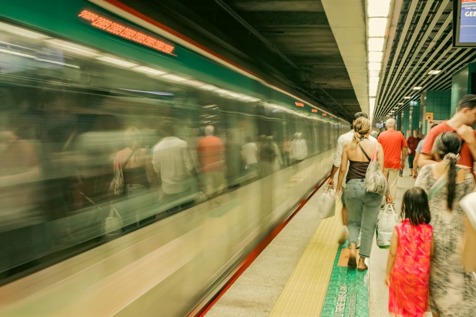
Public transport in Canberra is run by Transport Canberra, a division of the ACT Government, and it combines a territory-wide bus network with a light rail line. The bus network, long known to locals through the ACTION brand, uses a structure of frequent rapid routes connecting the town centres with more local feeder services in the suburbs. Transport Canberra has progressively reshaped the network around these higher-frequency rapid corridors, with interchanges at the major town centres acting as the main transfer points. Buses and light rail share an integrated fare system, so a single fare generally covers a journey including connections made within a set time window.
The light rail line is the most visible recent change to how Canberra moves. Stage 1, which Transport Canberra opened in 2019, runs along Northbourne Avenue between the city centre and the northern town centre of Gungahlin, with stops serving the corridor in between. It has become a spine for redevelopment along Northbourne, with higher-density housing and offices clustering around the route. The ACT Government has committed to extending light rail southward in stages from the city through the Parliamentary area and on toward Woden, a long-term project being delivered in phases, with the section beyond the city centre still under construction and planning at the time of writing.
It is worth being clear about what Canberra does and does not have, because the city is often imagined to be more rail-served than it is. There is no suburban heavy rail network within Canberra, no metro and no ferry service; the inland city sits on lakes and rivers that are used for recreation rather than commuting. Intercity rail is provided by NSW TrainLink, the New South Wales government operator, which runs daily train services between Canberra's Kingston station and Sydney, complemented by connecting coach services to other regional centres. For most residents, though, day-to-day travel is dominated by private cars and the bus and light rail network rather than by trains.
Air travel is handled through Canberra Airport, a privately owned and operated facility on the city's eastern edge close to the Majura Parkway. The airport authority positions it as the gateway to the national capital, with regular flights to the major mainland capitals and, at various times, selected regional and international services. Its location near major road links means it functions as both a passenger gateway and a focus for surrounding commercial and industrial development. Because routes and carriers change with market conditions, travellers should confirm current destinations with the airport or airlines directly.
Commuting patterns in Canberra are shaped by its role as a public-service capital and by the cross-city geography. A large share of jobs sits in and around the central national institutions, the Parliamentary Triangle and the town centres, drawing peak-hour flows inward from the residential districts of Belconnen, Gungahlin, Woden and Tuggeranong, as well as from over the border in nearby New South Wales towns such as Queanbeyan. Distances are short by big-city standards and congestion is generally milder, which helps explain strong rates of car commuting alongside steady growth in cycling and walking on the city's extensive off-road path network. Looking ahead, the ACT Government frames the staged light rail extension, continued road upgrades and a push toward more frequent buses and active travel as the core of its long-term transport direction, while Transport Canberra and the airport authority remain the bodies to consult for current, detailed information.
Sources: Transport Canberra (ACT Government), Transport Canberra and City Services Directorate, ACT Government, ACT Government, Canberra Airport, NSW TrainLink (Transport for NSW).
This article was compiled by AI from the sources linked above and screened before publishing. See our editorial standards.